


GPSMAP® 8400/8600 Series


WORLDWISE BASEMAP
With Sonar
GPSMAP® 8410xsv
-
PART NUMBER: 010-02091-02 - 10"
GPSMAP® 8412xsv
-
PART NUMBER: 010-02092-02 - 12"
GPSMAP® 8416xsv
-
PART NUMBER: 010-02093-02 - 16"
Without Sonar
GPSMAP® 8410
-
PART NUMBER: 010-02091-00 - 10"
GPSMAP® 8412
-
PART NUMBER: 010-02092-00 - 12"
GPSMAP® 8416
-
PART NUMBER: 010-02093-00 - 16"
GPSMAP® 8417 MFD
-
PART NUMBER: 010-01510-00 - 17"
GPSMAP® 8422 MFD
-
PART NUMBER: 010-01511-00 - 22"
GPSMAP® 8424 MFD
-
PART NUMBER: 010-01512-00 - 24"
BlueChart® g3 and LakeVü g3
With Sonar
GPSMAP® 8610xsv
-
PART NUMBER: 010-02091-03 - 10"
GPSMAP® 8612xsv
-
PART NUMBER: 010-02092-03 - 12"
GPSMAP® 8616xsv
-
PART NUMBER: 010-02093-03 - 16"
Without Sonar
GPSMAP® 8610
-
PART NUMBER: 010-02091-01 - 10"
GPSMAP® 8612
-
PART NUMBER: 010-02092-01 - 12"
GPSMAP® 8616
-
PART NUMBER: 010-02093-01 - 16"
GPSMAP® 8617 MFD
-
PART NUMBER: 010-01510-01 - 17"
GPSMAP® 8622 MFD
-
PART NUMBER: 010-01511-01 - 22"
GPSMAP® 8624 MFD
-
PART NUMBER: 010-01512-01 - 24"
- Description
- Specification
- In Box
- Reviews (0)
Description
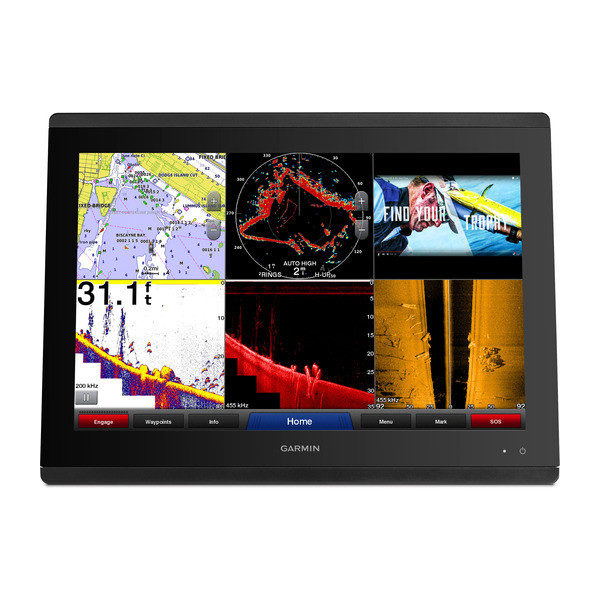
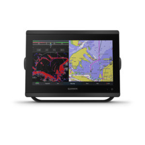
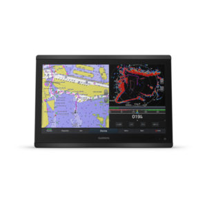
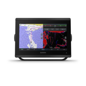
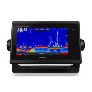
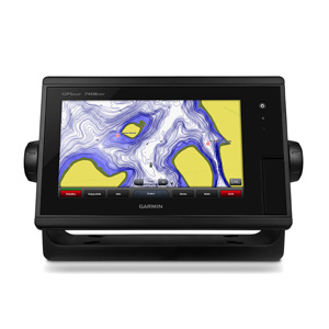
Now includes 10”, 12” and 16″ chartplotter/sonar combo models with full in-plane switching (IPS) touchscreen displays, support for traditional, scanning and Panoptix™ sonar, preloaded coastal charts and inland maps featuring Navionics® data and Auto Guidance technology.
- Fully network capable with NMEA 2000® connectivity and the Garmin Marine Network
- Built-in support for the full suite of Garmin sonar capabilities
- Includes ANT® technology and Wi-Fi® networking
- SmartMode™ station controls for quick, one-touch access to the information you need
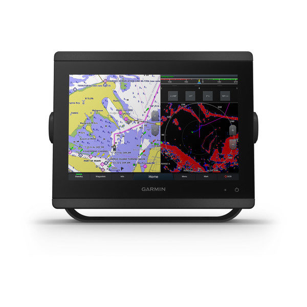
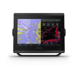
Complete Sonar Support
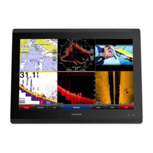
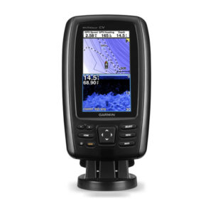
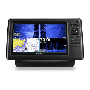
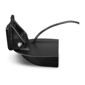
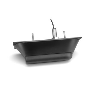
The GPSMAP 8616xsv chartplotter/sonar combo offers built-in support for our industry-leading sonar, including dual-channel 1 kW traditional CHIRP, CHIRP ClearVü and CHIRP SideVü scanning sonars plus built-in support for Ultra High-Definition scanning sonar (no black box required). It also supports the entire Panoptix™ all-seeing sonar line (transducers sold separately).
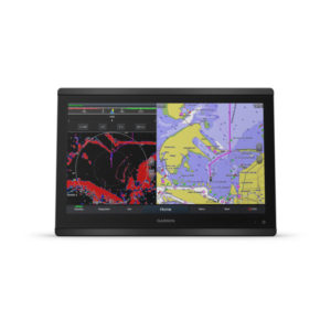
The Best of Garmin with the Best of Navionics
For the most detailed, clear and concise charts and maps, this chartplotter is preloaded with BlueChart® g3 coastal cartography and LakeVü g3 inland mapping featuring Navionics data. They also include our Auto Guidance technology, which shows a suggested route to a destination¹, based on your boat’s specifications. The expandable memory allows you to upgrade your maps with accessory map purchases, such as BlueChart® g3 Vision and LakeVü g3 Ultra.
Build Your Marine System
NMEA 2000 networking and the Garmin Marine Network allow you to easily build your full marine electronics suite — from radar and autopilots to cameras, instruments and forward-looking sonar — controlled from your chartplotter and shared across multiple screens. In addition, our exclusive OneHelm™ system coordinates many third-party manufactured onboard marine products to bring full control of systems — such as digital switching, lighting, stabilization and more — conveniently to your chartplotter screen.
Chartplotter Features |
|
| Garmin Radar compatible | ✓ |
|---|---|
| Garmin Sonar compatible | yes |
| Garmin SmartMode compatible (customizable monitor presets) | ✓ |
| Supports AIS (tracks target ships position) | ✓ |
| Supports DSC (displays position data from DSC-capable VHF radio) | ✓ |
| Supports FUSION-Link™ compatible radios | ✓ |
| GSD™ Black Box sonar support | ✓ |
| GCV™ Black Box sonar support | ✓ |
| ActiveCaptain compatible | yes |
| Garmin Helm compatible | yes |
| GRID™ (Garmin Remote Input Device) compatible | ✓ |
| Wireless remote compatible | ✓ |
| Sailing Features | ✓ |
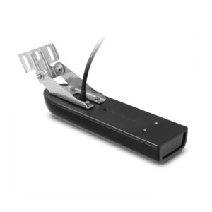
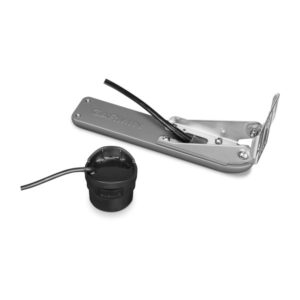
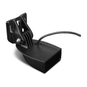
- GPSMAP 8416xsv
- Power cable
- NMEA 2000® drop cable
- NMEA 2000 T-connector
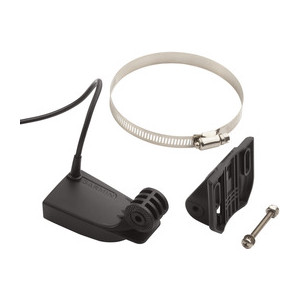
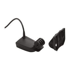
- Flush mount kit
- Sun cover
- Trim piece snap covers
- Documentation
Reviews
There are no reviews yet.